
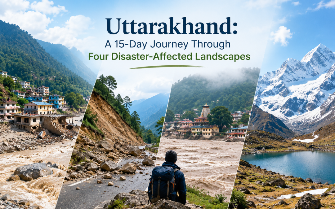
Some journeys are about discovering places. Others are about understanding them.
My recent 15-day journey through Uttarakhand 9th to 22nd October 2026 was an opportunity to do the latter. Across four locations—Silkyara, Dharali, Joshimath and Kedarnath—we explored landscapes that have experienced different forms of disaster, disruption and environmental stress. The purpose was to observe the physical condition of these areas, understand the changes that have taken place, and listen to the people whose lives and livelihoods are closely connected to these landscapes.
As an architect, environmental planner and disaster risk reduction professional, I have always believed that the built environment cannot be understood in isolation from its natural surroundings or the communities that inhabit it. This journey reinforced that belief in many ways.
Four locations, four different experiences
- Silkyara: When infrastructure meets uncertainty
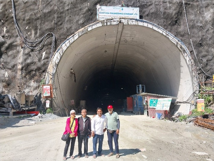
Our journey began with the Silkyara tunnel collapse, which brought national attention to the challenges of constructing major infrastructure in the Himalayan region.
Standing in a landscape where such an incident had occurred was a reminder that infrastructure development in mountainous terrain demands more than engineering ambition. The geological setting, the nature of the terrain, construction practices, safety systems and emergency preparedness all form part of a much larger picture.
Observing the area and interacting with people helped us look beyond the incident itself. Every infrastructure project exists within a physical and social context, and understanding that context is essential to understanding risk.
- Dharali: A village and the vulnerability of mountain settlements
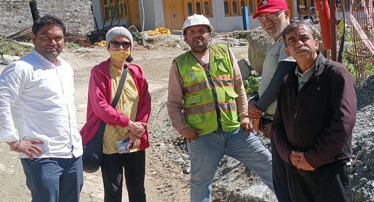
On 5 August 2025, Dharali village in Uttarakhand’s Uttarkashi district was devastated by a catastrophic cloudburst that triggered massive flash floods and debris flows. The violent mudslide and floodwaters swept through the settlement, burying and destroying dozens of houses, hotels, and local apple orchards, and altering the local river morphology near the Bhagirathi River confluence. Casualties & Missing: The disaster resulted in multiple confirmed deaths and dozens of missing persons (with estimates scaling past 43 to over 60–70 affected individuals), prompting large-scale search and rescue operations.
Visiting Dharali brought the vulnerability of mountain settlements into sharp focus. In these landscapes, rivers, streams, slopes, settlements, roads and livelihoods are closely interconnected. A sudden event can disrupt several of these systems simultaneously.
Walking through an affected area especially on its 40 feet high debris is different from studying it through photographs or reports. The physical surroundings offer one perspective, while conversations with local people provide another. Their experiences help us understand what the landscape means to those who live and work there, and how a disaster extends beyond visible damage.
The visit was also a reminder that the recovery of a place involves more than restoring buildings and infrastructure. It concerns the continuity of livelihoods, the security of families and the ability of communities to rebuild their lives.
- Joshimath: Living with the uncertainty of a changing landscape
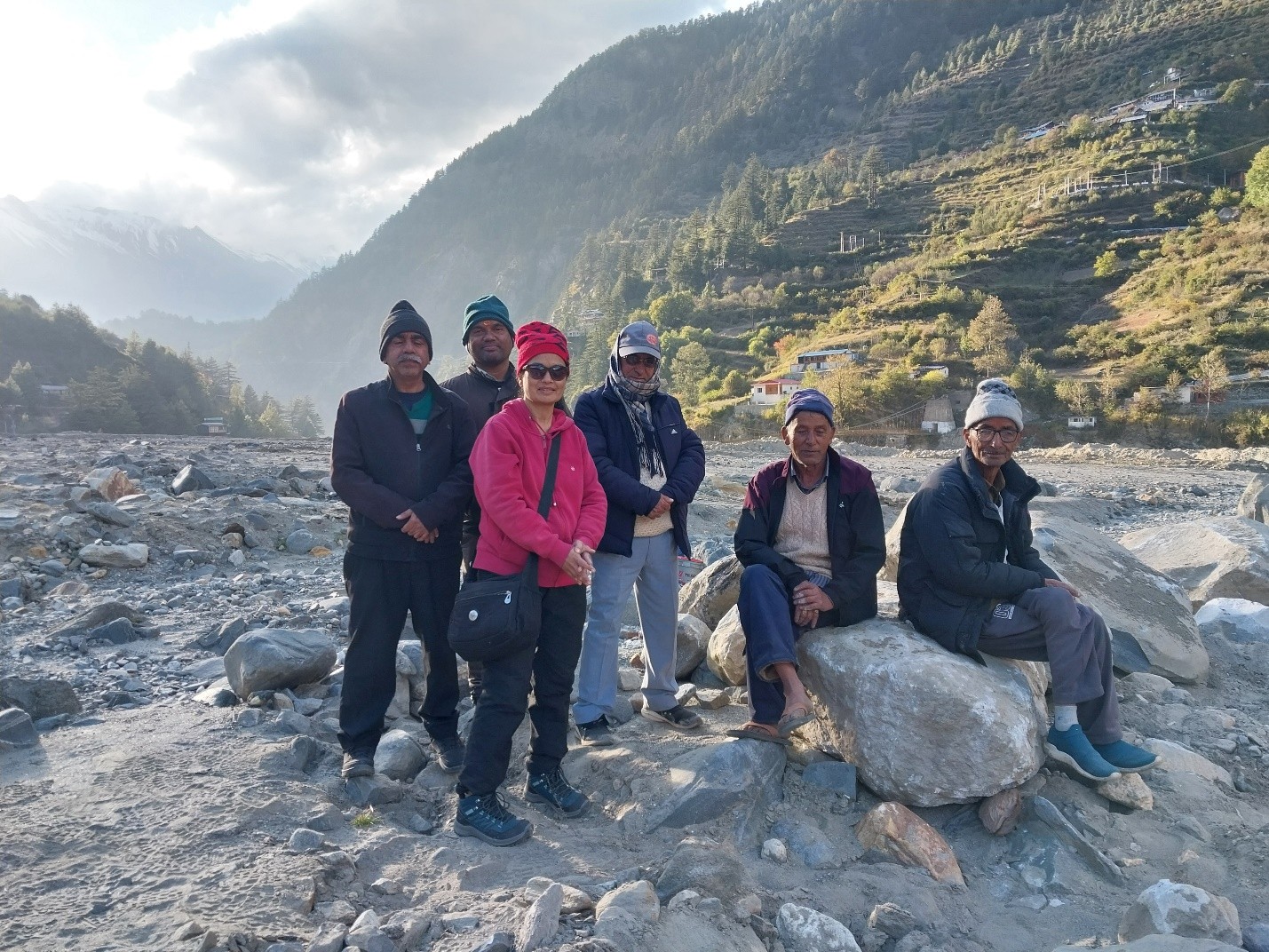
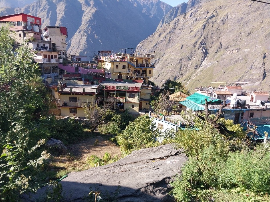
Joshimath presented a different experience. The land instability and ground subsidence that have affected the town raise difficult questions about settlements in fragile mountain environments.
Here, the relationship between the natural terrain and the built environment becomes particularly evident. Buildings, roads and public infrastructure are not independent of the ground beneath them. Their long-term performance depends on the stability of the terrain, drainage, construction practices and the wider environmental setting.
Observing the area and speaking with people brought attention to the human dimension of living with uncertainty. When cracks appear in buildings or roads, the concern is not merely structural. It touches people’s sense of security, their homes, their investments and their confidence in the future.
Joshimath highlights the importance of looking at risk not only as a sudden event but also as a process that may develop gradually, sometimes becoming visible only after its effects have accumulated.
- Kedarnath: Remembering 2013 and looking at the present
Kedarnath was perhaps the most emotionally significant part of the journey.
The 2013 disaster left a profound mark on the region, causing immense loss of life and widespread destruction. More than a decade later, returning to this landscape with the purpose of observing its present condition offered an opportunity to reflect on what happens after the immediate disaster has passed.
What changes in the built environment? How do people remember the event? How has their understanding of risk evolved? What gives them confidence, and what continues to concern them?
These were some of the questions that guided our observations and conversations.
Kedarnath is also a complex place where religious significance, tourism, local livelihoods, infrastructure development and environmental sensitivity intersect. Understanding its present condition requires looking at all these dimensions together.
The visit reminded me that reconstruction is an important milestone, but the larger question is how lessons from a disaster become part of everyday planning, building practices, preparedness and community life.
Beyond the visible landscape: Listening to people
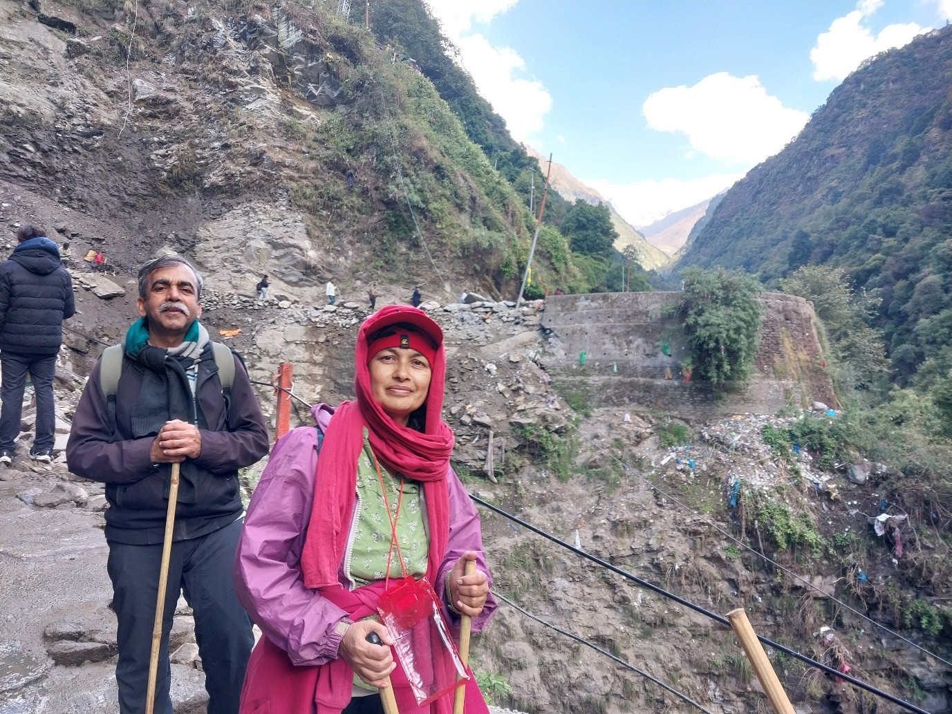
Across all four locations, a central part of our work was interacting with people.
Physical observations help us understand the condition of buildings, roads, slopes, drainage systems and other infrastructure. Conversations help us understand how people experience their surroundings, what they remember, what concerns them and how they perceive the risks they face.
These are complementary sources of understanding.
A place may appear to have recovered physically while important concerns remain among its residents. Conversely, improvements in infrastructure, access or preparedness may have made a meaningful difference to people’s lives.
Listening carefully is therefore as important as observing carefully. It also requires recognising that people experience disasters differently, depending on their homes, occupations, livelihoods, resources and responsibilities.
For me, these conversations were among the most valuable aspects of the journey.
The Himalayas: A landscape that demands sensitivity
The Himalayas are extraordinary in their beauty, cultural richness and ecological importance. They are also dynamic landscapes, shaped by steep terrain, complex geology, rivers, extreme weather and changing environmental conditions.
Development in such regions is essential. Communities need housing, transport, livelihoods, public services and economic opportunities. Pilgrimage and tourism are also important to the region’s economy and cultural identity.
The challenge is not to choose between development and environmental protection. It is to understand how development can respond more sensitively to the conditions of the landscape in which it takes place.
This calls for careful spatial planning, context-appropriate design, responsible construction, reliable infrastructure, effective early-warning and emergency systems, and meaningful participation by local communities.
Above all, it calls for recognising that the Himalayas cannot be approached with the same assumptions that guide development in less fragile geographical settings.
A journey of observation, questions and learning
Over 15 days, the four locations offered different perspectives on disaster risk: infrastructure failure at Silkyara, a devastating event at Dharali, continuing concerns about land instability at Joshimath, and the long-term legacy of the 2013 disaster at Kedarnath.
Each place has its own geographical setting, history and circumstances. They should not be treated as identical cases. Yet together, they provide valuable opportunities to reflect on how physical conditions, human decisions, infrastructure and community experience intersect.
Our fieldwork combined observation of the physical environment with interviews and interactions with people. The purpose was to understand the present situation and identify questions that deserve closer examination.
The detailed assessment of these four case studies—including the observed conditions, stakeholder perspectives, risk factors and implications for disaster risk reduction—will be presented separately.
For now, I return from Uttarakhand with photographs, field notes, conversations and many questions to reflect upon.
The most important lesson is perhaps a simple one: understanding disaster risk begins with understanding a place—not just its hazards, but also its landscape, its built environment and the people who call it home.
And sometimes, the most valuable insights emerge not from the reports we read, but from the places we visit and the people who share their experiences with us.